Plans of Lekki Free Trade Zone ( Lekki FTZ)
Lekki Free Trade Zone (“Lekki FTZ”) covers a total area of about 30 square kms with 27 square kms for urban construction purposes, which would accommodate a total resident population of 120,000.
Construction progress
Coastal highway billboards, bayonet socket building close range, lecky since the trade… Read more…
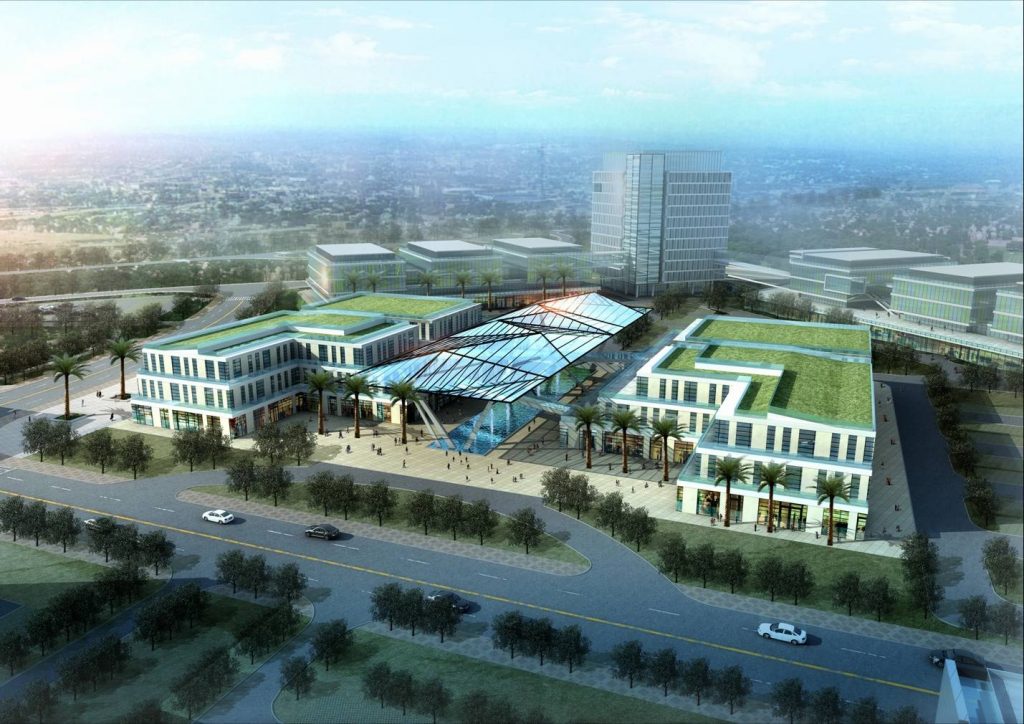
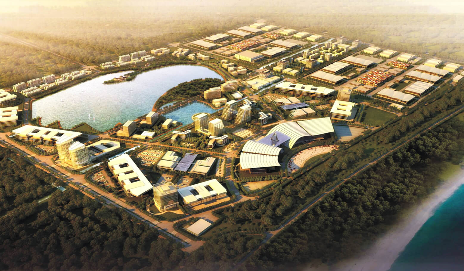
Site Plan of Commercial & Logistics Park in the start-up area
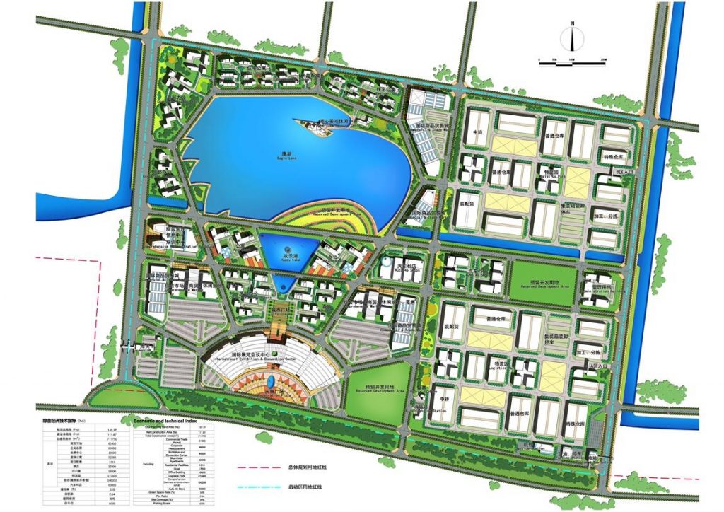
Located in the start-up area of Lekki FTZ, the Commercial & Logistics Park covers a total area of 1.5 square kms.
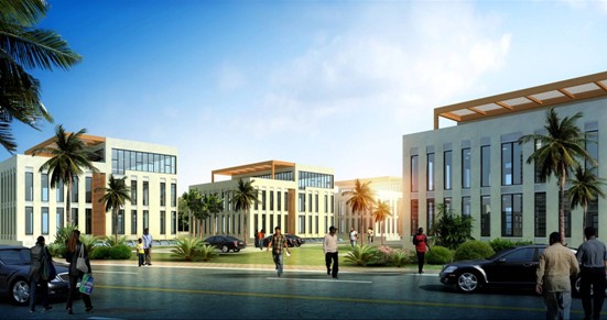
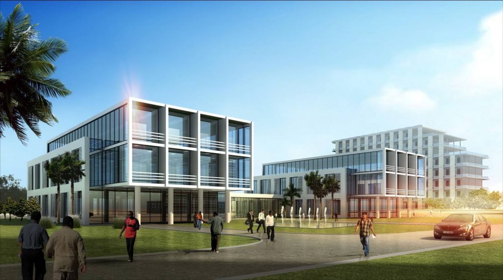
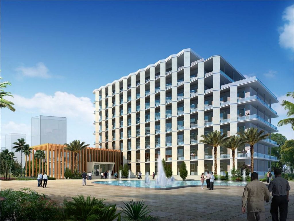
The Commercial & Logistics Park is planned to be of multi-functions with integration of commerce, trading, warehousing, logistics, exhibition, value-added processing, supporting services, which are closely inter-connected and mutually promoted. In the long run, the Commercial & Logistics Park will serve as the logistics and distribution center of Chinese products in West Africa and represent a service demonstration base for the entire Lekki FTZ.
According to the Site Plan of the Commercial & Logistics Park, a considerable number of construction works will be built in the Park, including the international commodities & trade center, the international exhibition & conversation center, industrial factory workshops, logistics warehouses, office buildings, hotels and residential apartment buildings, etc.

The Master Plan of Lekki Free Trade Zone
Lekki Free Trade Zone (“Lekki FTZ”) covers a total area of about 30 square kms with 27 square kms for urban construction purposes, which would accommodate a total resident population of 120,000. As per the Master Plan, Lekki FTZ will be developed and turned into a new modern city with integration of industries, commerce & business, real estate development, warehousing & logistics, tourism & entertainment etc.

Conceptual Master Plan (155 square km)
The Conceptual Master Plan of Lekki FTZ, covering a total area of 155 square kms., was initiated and prepared by the Lagos State Government in 2006. The Plan has defined Lekki FTZ as a special multi-functional economic zone and a new modern city with several south-west and north-south traffic corridors. In addition, the Plan has specified the layout in the form of cluster development interwoven with ecological elements. The southwest quadrant as shown below has been defined as the area for Phase 1 development ( 30 square kms. ).

Planning Background
The Blueprint of Overall Development of Lekki Peninsula (about 600 square kilometers) In July 2008, the conceptual blueprint of developing the Lekki Penninsula into a ‘Blue-Green Environment City’ was proposed by the State Government of Lagos, which covers a total area of 600 square kms. stretching from Victoria Island in the west to Refuge Island in the east. The conceptual blueprint has set the basic criterions for land uses and development of important public facilities and infrastructures in both the north and south peninsulas. And it also provides the essential guidelines for the regional planning of the entire Lekki peninsula as well as the important basis for the preparation of Lekki FTZ plans with a view to integrating Lekki FTZ with development of the Mega city of Lagos.

Spatial Layout of the Master Plan
The spatial layout of the Master Plan is characteried by: two centers, two axes, three districts, multiple nodes, axial penetration. Two centers : The sub-centre to be developed first is located in the south of the Zone close to the customs supervisory area mainly for commercial trading, logistics and warehousing operations. The principal
The principal center to be developed during the 2nd Phase is located in the north of the Zone adjacent to E9 road (highway) which will serve as CBD of Lekki FTZ. Two axes : The area along E2 Road shall be the principal functional axis for development of finacial and commercial businesses, estate properties & supporting facilities, high-end production service industries etc. , which will closely link the two centres of the Zone. The area along E4 Road shall be the sub-axis mainly for development of logistics and industrial manufacturing/processing.
Three districts: Lekki FTZ is divided into three functional districts. In addition, a number of connection axes are planned in-between the principal axis and the sub-axis, along which multi-functional service nodes will be built to serve the whole Lekki FTZ .